

Join me on Patreon and gain exclusive access to potential archaeological site locations and key research.
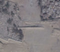
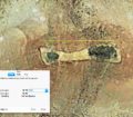
One of the very first anomaly sites I found back in the late 1990’s. This is a site in the middle of the Bahama bank with no modern activity around.
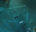
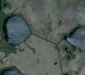
A close-up view of the area:

Bahamas Site
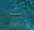
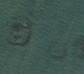
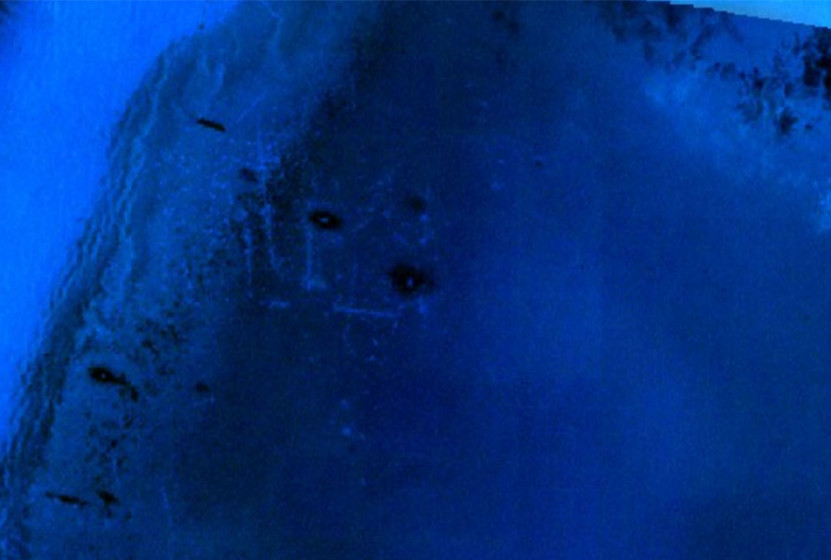
An enhanced image of the site:
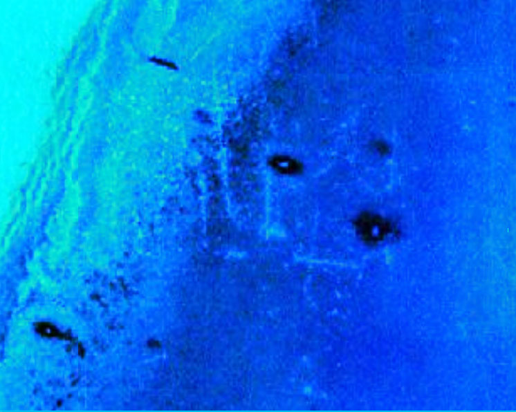
Bahamas Lost City Candidate
Site anomaly characteristics:
- Site is in a remote location.
- Site is composed of linear features that have been on the underwater landscape for an extended period of time.
- Site sits in shallow water where large boats typically do not go.
- Site contains 90 degree angles and appears to be in a gridded layout in some areas.
- Darker areas could be ruin features.
- Just like the Cuba anomaly sites, the linear features here are quite large in dimension.
- Image is a Landsat image taken at an altitude of 30,000 feet.
What was the purpose of this site?
- May have been used by the military for some type of testing although testing in this area is undocumented.
- Could be an ancient lost city or ruin site.
Know something about this site or want to know more? Drop us a message with your request.