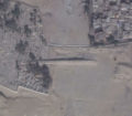
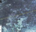
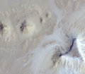
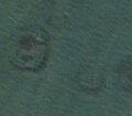
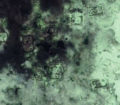
I found some strange lines in the jungle. They form a giant net of almost always exactly 2km x 2km squares and are located in a region the maya were active in. Some of the lines end in recently plotted land. Most run north-south or west-east and some others are running through the forest in diagonals, but all of them are completely straight lines.
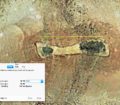
These lines seem to be broken by landscape or vegetation in some cases which could go to show their age. I have also created a Google Earth ‘map’ of the area using the path tool and found that the longest diagonal measures 32km in length while, as previously said, never making a turn.
The found lines are reasonably close to three mayan setlements to have possible historical value.
Please give an opinion as I am aware that much speculation is involved here. I myself think this could be credible as modern humans don’usually build like that and existing overgrown paths from previous locals can easily be used as a reference for making new roads since the forest is not as thick along them. Furthermore the area doesn’t seem reforested on the pictures, but they are already over a year old.
Please give an evaluation on my findings as I am really unsure if they are anything at all.
Kind regards,
Patrick

